Surveying and Spatial Data Consultants
For comprehensive surveying, mapping and spatial data consulting services throughout Australia, connect with Geocomp Consulting for a tailored solution. We are committed to providing precise and reliable services for your projects.
A-SPEC is an Australian developed standard for the exchange of as-constructed data relating to land development and infrastructure maintenance.
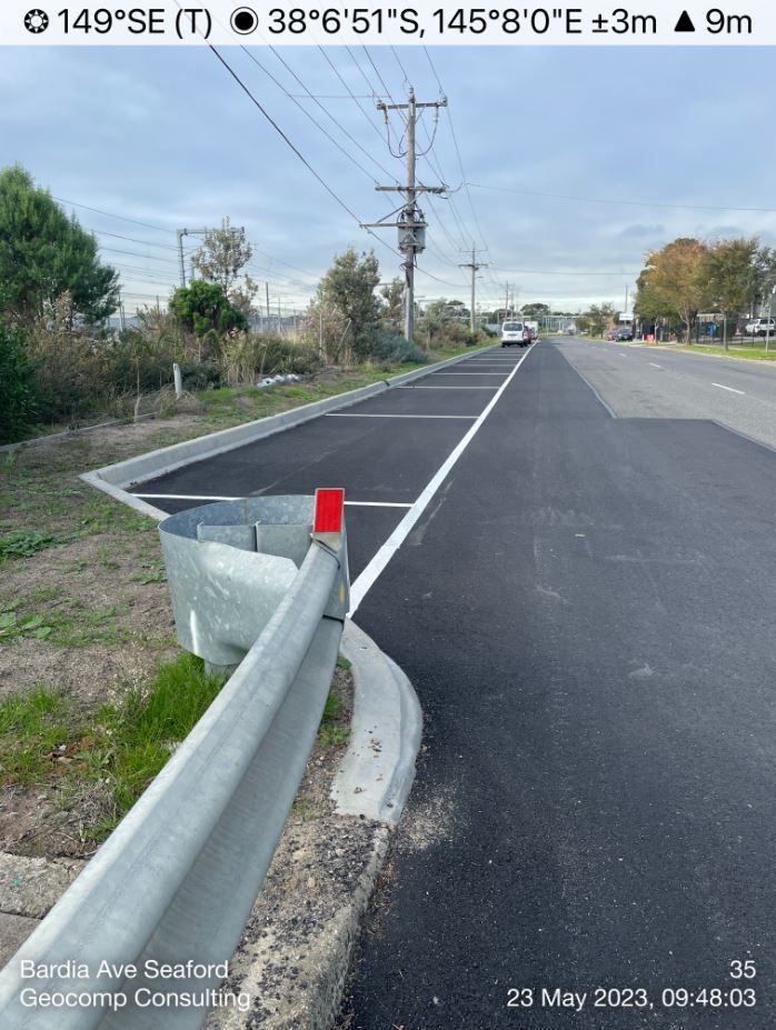
Geocomp Consulting has provided related surveying and data processing services since the early 2000's.
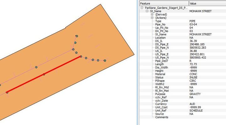
D-Spec - Stormwater drainage & telecommunications
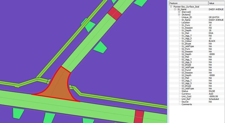
R-Spec - Road assets within a road reserve
O-Spec - Open space assets

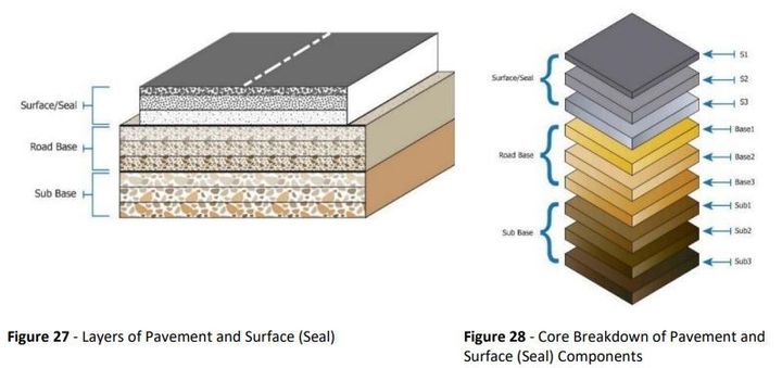
New Paragraph
Proven Solutions
Developed and tested over several decades Geocomp Consulting data processing solutions provide reliability and efficiency to spatial projects.
Advanced Software
Our GeoCivil software offers the power and flexibility required for efficient and effective surveying and spatial data processing.
Specialised Tools
Utilise our specialised tools for A-Spec and the spatial upgrade of digital cadastres, ensuring accuracy and reliability in your data management.